Home / Ōshū Kaidō / Sugitojuku
Sugitojuku 杉戸宿
| Ōshū Kaidō (奥州街道) | Station 5 of 27 · Nihonbashi (Edo) → Shirakawa |
|---|---|
| Nikkō Kaidō (日光街道) | Station 5 of 21 · Nihonbashi (Edo) → Nikkō |
| Present-day location | Sugito, Saitama, Japan |
| Prefecture | Saitama (Kanto region) |
| Next station | Sattejuku |
| Coordinates | 36.02687° N, 139.7333° E |
Sugito-juku was a post town on the Ōshū Kaidō and Nikkō Kaidō, the fifth station counting from Edo (Nihonbashi). It was one of the six Saitama stations (Saitama rokushuku). It was located in present-day Sugito Town, Kita-Katsushika District, Saitama Prefecture.
Overview
It was built at Edo period and set at post town. This is the equivalent of the center of the Saitama currently in the Sugito. Nikkō Kaidō Edo ZXX2X279X, which is the fifth post town.
Before modern times
A legend has it that there was a exchange site for the old Tokugawa, and that Japan's military honors landed near this area when it went to the east, and that it was the port for the cedars.
In modern times
The Sugido is depicted in the illustration of the country below, including the Sagitshi Bridge and the Yoshigawa River. According to the state county name of the area that remains in this area, it is listed as the lower state of Salushima or Fukuoka County until October 11th. But in July 14 of that year, it was organized into the Kasai National Park. Port town itself, along the streets of Edo Five Roads, post towns built up streets all over New Town, downtown, downtown, downtown, riverside, and other towns, each with its great host and curious person, and the honjenquin-honjin were all in the middle of town. According to Japan's Sequoia, in 1843, the last round trip to Japan was between 55 towns long, 5 miles wide, 365 residences, a population of 10,633, Honjen 1 Wichi-Honjun 2 and 46 residences 4 and 7).
The distribution of goods and services
In 1616, I assembled a nearby village in the city of Sixai. On the day of the arrival of five and ten, the city of Sixai was opened and became the center of the district.
The Edo earthquake
In Suguitojuku there was damage caused by an Edo earthquake on October 2nd, 2nd. The frequency of the quake is "The midway between V and VI, and closer to VI." - In this earthquake, there is more than a quake in the north along the river. According to the report in the "Suicides of the Year, " the Great Earthquake Crescenity Book, and the villages of Satte-juku, there was a record of the damage done by the village's low government Edo earthquake around Sakukoku, and the Sagitojuu, as well as the tens of thousands of houses and ten thousand houses and twenty7 homes.
It's got names and old traces
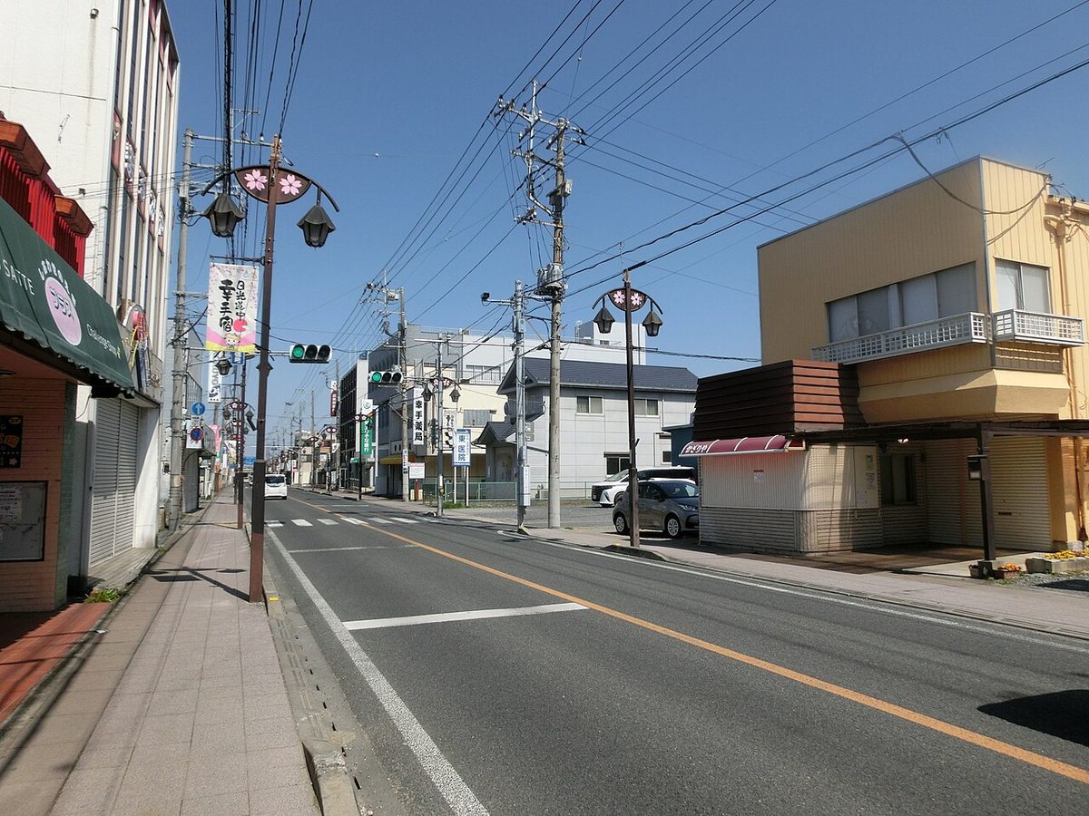
Today's urbanization has not been much affected, or the old house remains relatively well, making it look like Old post town Street.
Traffic
I don't know what you're thinking.
References
Old Documents Sattejuku, Kyoto University's Old Document Office. Compository Sakura Sakura: "The earthquake disaster and the terrain of the earth's surface. " Shikichi Shikoku's regional view of the Sequoia of 60 states in the case of the National Arts of Japan.
Text adapted from the Japanese Wikipedia article 杉戸宿, whose full text was translated into English for this guide by its contributors, licensed CC BY-SA 4.0. Station facts cross-checked with the road station lists (Japanese Wikipedia, CC BY-SA 4.0) and Wikidata (CC0).