Home / Ōshū Kaidō / Kasukabejuku
Kasukabejuku 粕壁宿
| Ōshū Kaidō (奥州街道) | Station 4 of 27 · Nihonbashi (Edo) → Shirakawa |
|---|---|
| Nikkō Kaidō (日光街道) | Station 4 of 21 · Nihonbashi (Edo) → Nikkō |
| Present-day location | Kasukabe, Saitama, Japan |
| Prefecture | Saitama (Kanto region) |
| Next station | Sugitojuku |
| Coordinates | 35.98301° N, 139.75349° E |
Kasukabejuku (symbol) is Edo period Nikkō Kaidō and Ōshū Kaidō post town. It's one of the Bisama Inn.
The background
In the 14th century, the name of the "Sunday of the Spring" was born by Shinda Shinda's heir, Shinda's daughter-in-law, Sun-Sai, who made it his domain. The word "beta" has been changed several times, and the wall is a place name from Edo and promenopus.
Open it
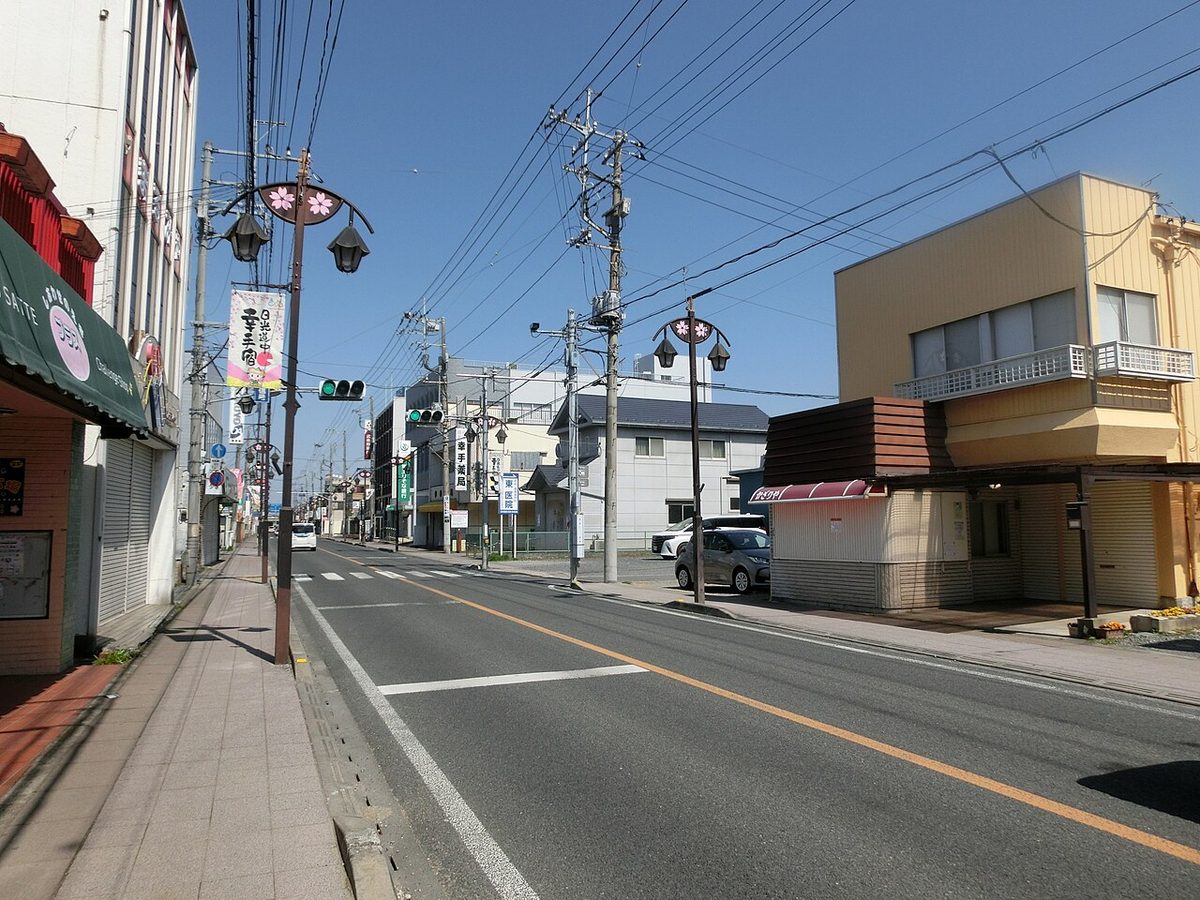
After the destruction of Otaharahara, the Tokugawa family was transferred and entered the Edo castle, and the Edo Five Roads was maintained. In the year 2 of the year 1616, Kasukabe-juku was established as a station on the Nikkō Kaidō and the Ōshū Kaidō. It's the fourth post town counting from Edo Nihonbashi. It's the old street road at today's Spring Day Station Tohoku Station. There were 773 homes, and it was the sixth largest of the 2Nikkins Kadinga 23 residences.
Prosperity
On the day of four and nine, the city of Seikichi has been opened, and it has been developed as a commercial town since recently. After a day's walk from Edo Nihonaba, many of the travelers took up residence here because of the fact that Pot Town, which was just one night old, was this wall. It's said that merchants and travelers made it as a means of commercial transportation, too, since the road passed through Tsukiji and Kyushu's camp. It was Nikkkakagio Kadinga and it flourished as a collection of goods connected with Edo through the old Tokugawa River. On the other hand, farmers on river land and on the river side are said to have been affected by water and have been plagued by agricultural disturbances.
In modern times
In the year after that (about Edo period year, 1645) there was alternate use of the wording between the wall and the wall, and the kanji, written from the original year of 1700 years, was used cross-checked until the beginning of the rule. At Takahashi Time and at Iseshima, Japan's entire map of Japan's Coastal Sea is marked as Tsubagakure. The surrounding wall is a rare area in Kanto and the landowners have grown to a high level. Of the top ten households of Kanto, 4 were occupied by Matsumura on the other side with Kasukabejuku of the Spring Sun. Tamura.
It's got names and old traces
I'm at Yaeko-dono. The best school. Toshishira-san. Toyojiji.
Equipment
The connection road.
Traffic
The next room. I'm going to have to take care of it.
Text adapted from the Japanese Wikipedia article 粕壁宿, whose full text was translated into English for this guide by its contributors, licensed CC BY-SA 4.0. Station facts cross-checked with the road station lists (Japanese Wikipedia, CC BY-SA 4.0) and Wikidata (CC0).