Home / Nakasendō / Ōmiya-shuku
Nakasendō · Station 4 of 69
Ōmiya-shuku 大宮宿
| Nakasendō (中山道) | Station 4 of 69 · Nihonbashi (Edo) → Kyoto (via Kusatsu) |
|---|---|
| Present-day location | Ōmiya-ku, Saitama, Japan |
| Prefecture | Saitama (Kanto region) |
| Distance from Nihonbashi | About 29.2 km (by the historical station tables) |
| Next station | Ageo-shuku — about 7.9 km on |
| Coordinates | 35.90875° N, 139.62622° E |
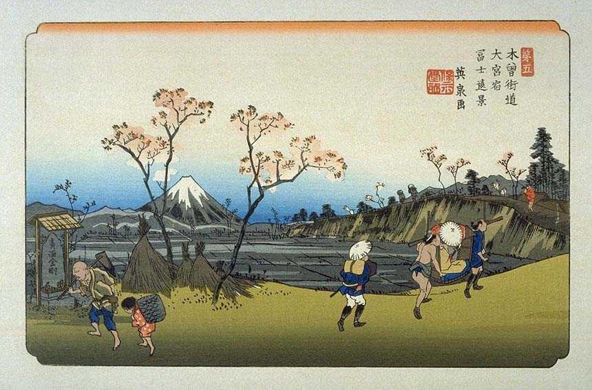
Ōmiya-shuku (大宮宿, Ōmiya-shuku) was the fourth of the sixty-nine stations of the Nakasendō. It is located in the Ōmiya ward and Kita ward of the present-day city of Saitama, Saitama Prefecture, Japan.
History
Larger than its two neighboring post towns, Urawa-shuku and Ageo-shuku, Ōmiya-shuku was recorded to have had a population of over 1,500 people with over 300 homes during the Tenpō era. It also had the largest number (nine) of secondary honjin along the Nakasendō.
Neighboring post towns
- Nakasendō
- Urawa-shuku–Ōmiya-shuku–Ageo-shuku
Advertisement
Text adapted from the English Wikipedia article Ōmiya-shuku by its contributors, licensed CC BY-SA 4.0. Station facts cross-checked with the road station lists (Japanese Wikipedia, CC BY-SA 4.0) and Wikidata (CC0).